TraVisionFoundation

Irish Traveller-led. Rooted in Sligo.
Open to everyone.

One connected body of work

History. Identity.
Possibility.
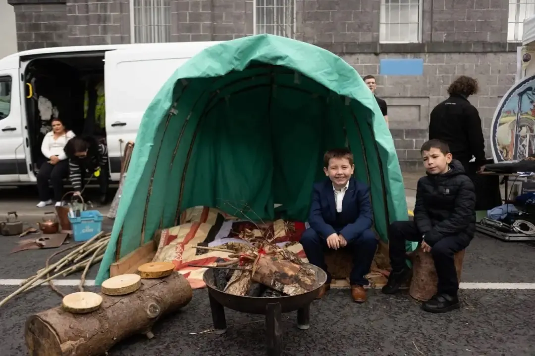
A green canvas shelter, cooking fire and people at an outdoor cultural display.
Community & living culture

The Wagon Trail

Time. Place. Evidence.

Move through a visual timeline of Ireland, then follow the evidence lens that matters to you.
County map of the full island of Ireland with the Wagon Trail A geographically based county map showing the full island of Ireland, including Northern Ireland. The glowing Wagon Trail crosses several counties; its dated stops are interface waypoints rather than claims that an event happened in that county. Counties shown: Antrim, Armagh, Carlow, Cavan, Clare, Cork, Derry or Londonderry, Donegal, Down, Dublin, Fermanagh, Galway, Kerry, Kildare, Kilkenny, Laois, Leitrim, Limerick, Longford, Louth, Mayo, Meath, Monaghan, Offaly, Roscommon, Sligo, Tipperary, Tyrone, Waterford, Westmeath, Wexford and Wicklow.
1537
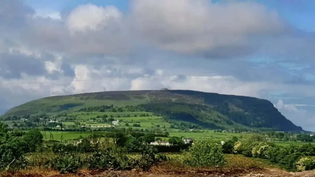
A broad green mountain ridge above fields beneath a cloudy sky.
Land & continuity
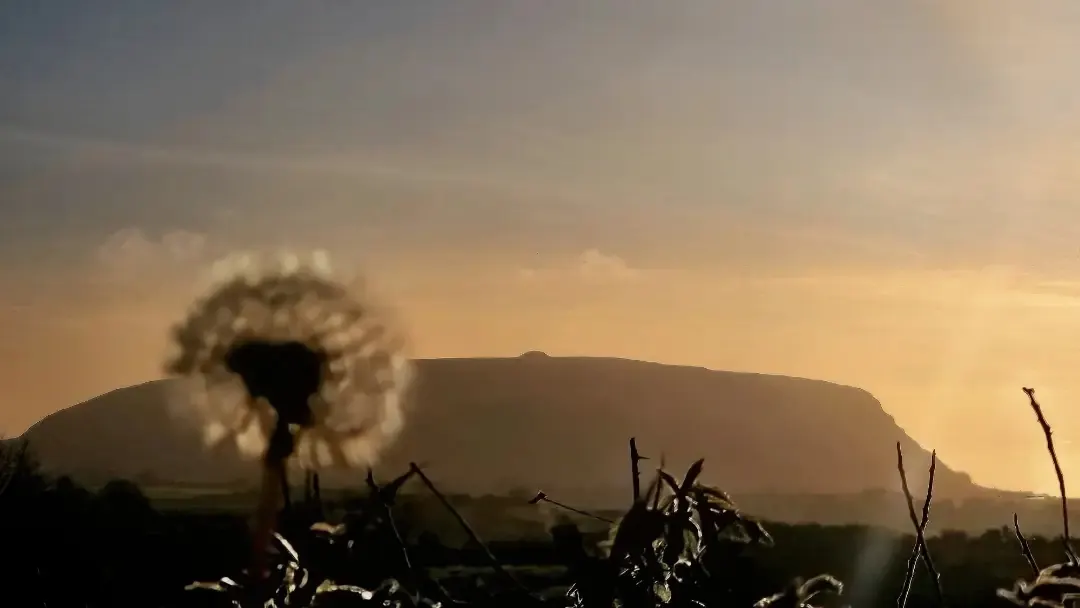
A backlit seed head and grasses silhouetted against a mountain ridge at sunset.
Landscape & memory

A place to begin

Two windows.
One living story.

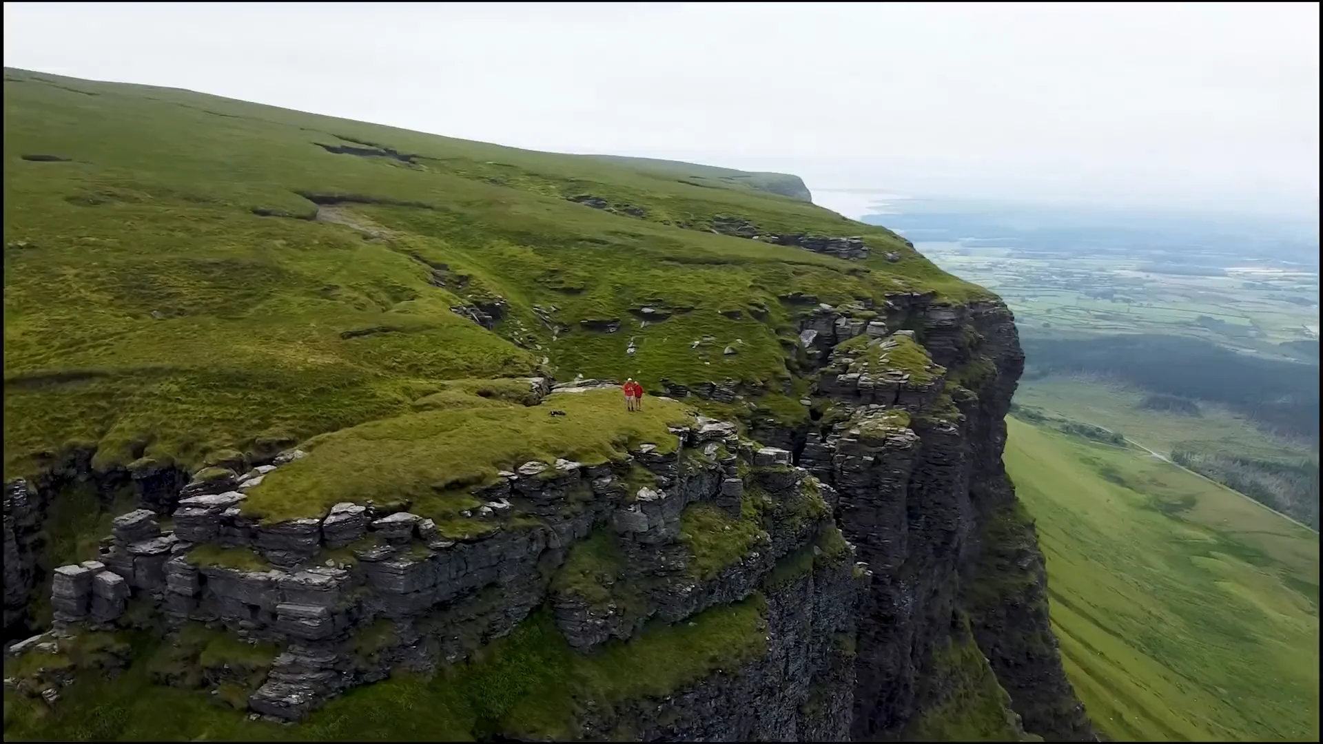
Benbulben out one window. Queen Medb’s cairn out the other. Two real Sligo landscapes. One clear sense of place.
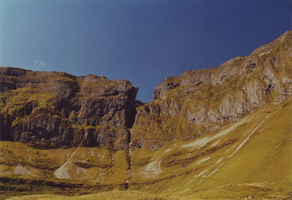
The limestone slopes and green landscape of Benbulben in County Sligo.
Benbulben · County SligoBigBear_Martin · Public domain
The silhouette of Queen Medb’s cairn on Knocknarea at sunset.
Queen Medb’s cairn · KnocknareaCliffoney · CC BY-SA 4.0

Keep the work independent

Help our next chapter
take shape.

Support Irish Traveller-led research, storytelling and education.

Support our workExplore ways to help.